Industrial Facility 3d Model San Antonio TX
Coast 2 Coast technicians captured facility data using FARO laser scanners, NavVis mobile scanners, and drone photogrammetry. Elements will be placed in a Revit model based on the point cloud data. With the accurate model, the clash detection process started with importing 3D models of the existing warehouse structure and the proposed renovation designs into clash detection software. This creates a unified model that shows how all systems and elements interact. The project team reviews the clash report together, prioritizing issues based on severity and impact.
Using the point cloud and the Revit model from Coast 2 Coast for clash detection was particularly valuable because it helped the team integrate new systems with existing infrastructure efficiently and minimized unexpected issues during construction.
-
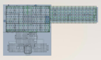 Industrial PDF to Revit Baker Hughes San Antonio TX
-
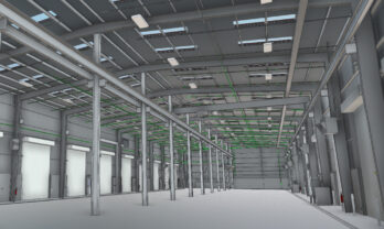 Industrial Laser Scanning San Antonio TX Baker Hughes
-
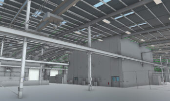 Industrial MEP Baker Hughes San Antonio Texas
-
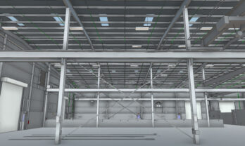 Industrial Facility Baker Hughes San Antonio TX Interior 3d Model
-
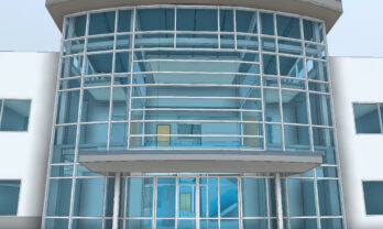 Industrial 3d Model Exterior Baker Hughes San Antonio TX
-
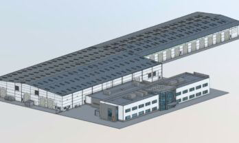 Industrial 3d Model Baker Hughes San Antonio TX
https://a360.co/3dS6dur
