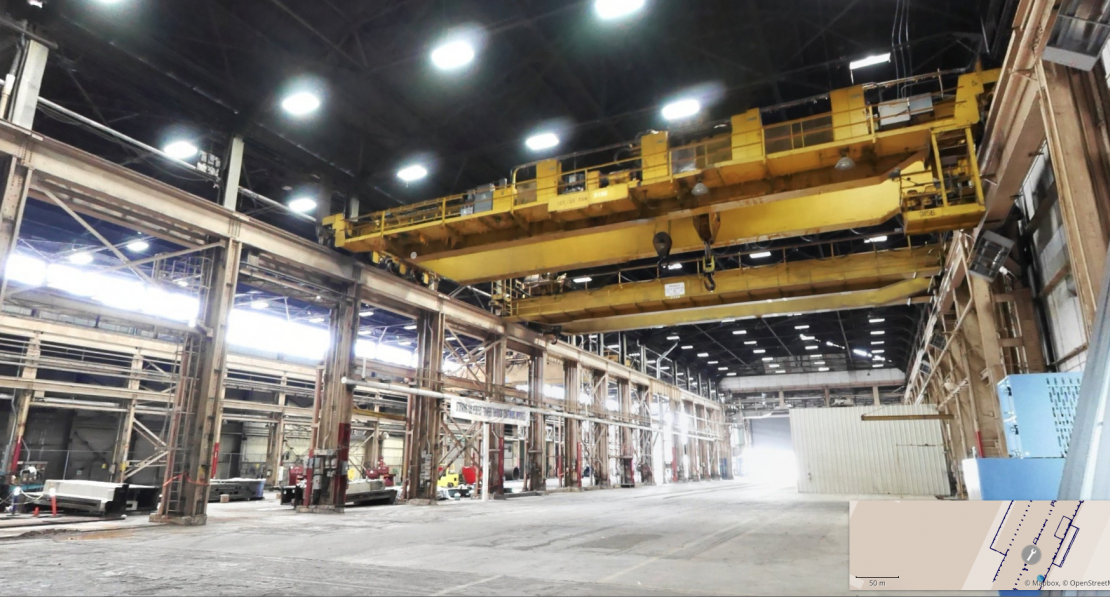
Coast 2 Coast’s Indoor Mapping Solution-
An ideal way to gather intelligence in industrial operations, distribution hubs, and large commercial spaces.

With the explosive need for warehousing and logistics, many investors in the industrial market are seeing ample long-term development opportunity in e-commerce-focused land assets. From the largest distribution centers with millions of square feet to the ‘last mile’ warehouses that are usually less than 200,000 square feet in size, owning and managing these newly acquired industrial facilities present a unique set of challenges.
Leasing, space planning, asset management, maintenance tracking, and tenant build-out are chief concerns but actionable information is often a missing link. Go360 Indoor Mapping combines 3D laser scans with 360º photography to offer the data in an easy to use online format. It’s an unprecedented method for facility planners, investment stakeholders, and developers to:
Industrial real estate is trading at record-high and e-commerce retailers need three times as much warehouse space as brick-and-mortar retailers, presenting a huge window of opportunity for warehouse landlords. Having a digital twin of your facility means you have the tools to keep ahead in the market.